Puerto Rican Rainforest: An El Yunque Guide
Understand what makes El Yunque distinct, how access and weather shape a visit, and why an experience near the forest is not automatically an experience inside it.
El Yunque National Forest is the only tropical rainforest in the U.S. National Forest System. At nearly 29,000 acres, it reaches across eight municipalities in northeastern Puerto Rico, with mountain rivers, recreation corridors, visitor facilities, research landscapes, and communities around its edges.
That geography is why careful wording matters. Río Grande is both a municipality and a gateway. The Luquillo Mountains and El Yunque foothills extend the rainforest character beyond the places a visitor may enter federal forest land. A tour can feel rainforest-rich while operating nearby rather than inside the national forest.
What El Yunque is, and what it is not
El Yunque is a federally managed national forest and the only tropical rainforest in the National Forest System. It is also the Luquillo Experimental Forest, a landscape with more than a century of formal research.
The name is often used broadly in tourism. For planning, separate the national-forest boundary from surrounding Río Grande parks, private foothills properties, river corridors, and Luquillo coast experiences. Similar vegetation does not make the legal or geographic setting identical.
Start with access, not a fixed itinerary
Forest access can change with parking capacity, recovery work, heavy weather, and temporary closures. The Forest Service directs visitors to current access information and alerts, which should take precedence over an old blog itinerary or a saved screenshot.
The official recreation page currently identifies several corridors without a reservation requirement, including Road 191 North, Road 988, Road 186, and Road 191 South. Treat that as a current planning signal, then recheck close to the visit.
Use El Portal as an orientation stop
El Portal de El Yunque is the main visitor center and a practical place for maps, current information, exhibits, and ranger-led interpretation.
Hours, fees, holiday closures, and temporary operating changes can move independently of a saved itinerary. Check the current El Yunque National Forest page and alerts shortly before travelling.
Let tropical weather change the plan
Rain is part of the forest’s character, but intense weather can change river conditions, visibility, road access, and the safety of exposed recreation. A forecast is useful. An official alert is decisive.
Pack for heat and sudden rain, protect electronics, and avoid building the entire day around a narrow transfer window. If a guide or ranger changes the route because of current conditions, that is a safety decision rather than a lost feature.
Choose between independent exploration and a guided activity
Independent visitors gain flexibility and can spend more time at overlooks, visitor facilities, and open trails. Guided experiences reduce navigation work and may add transport, equipment, interpretation, or controlled access to a private course.
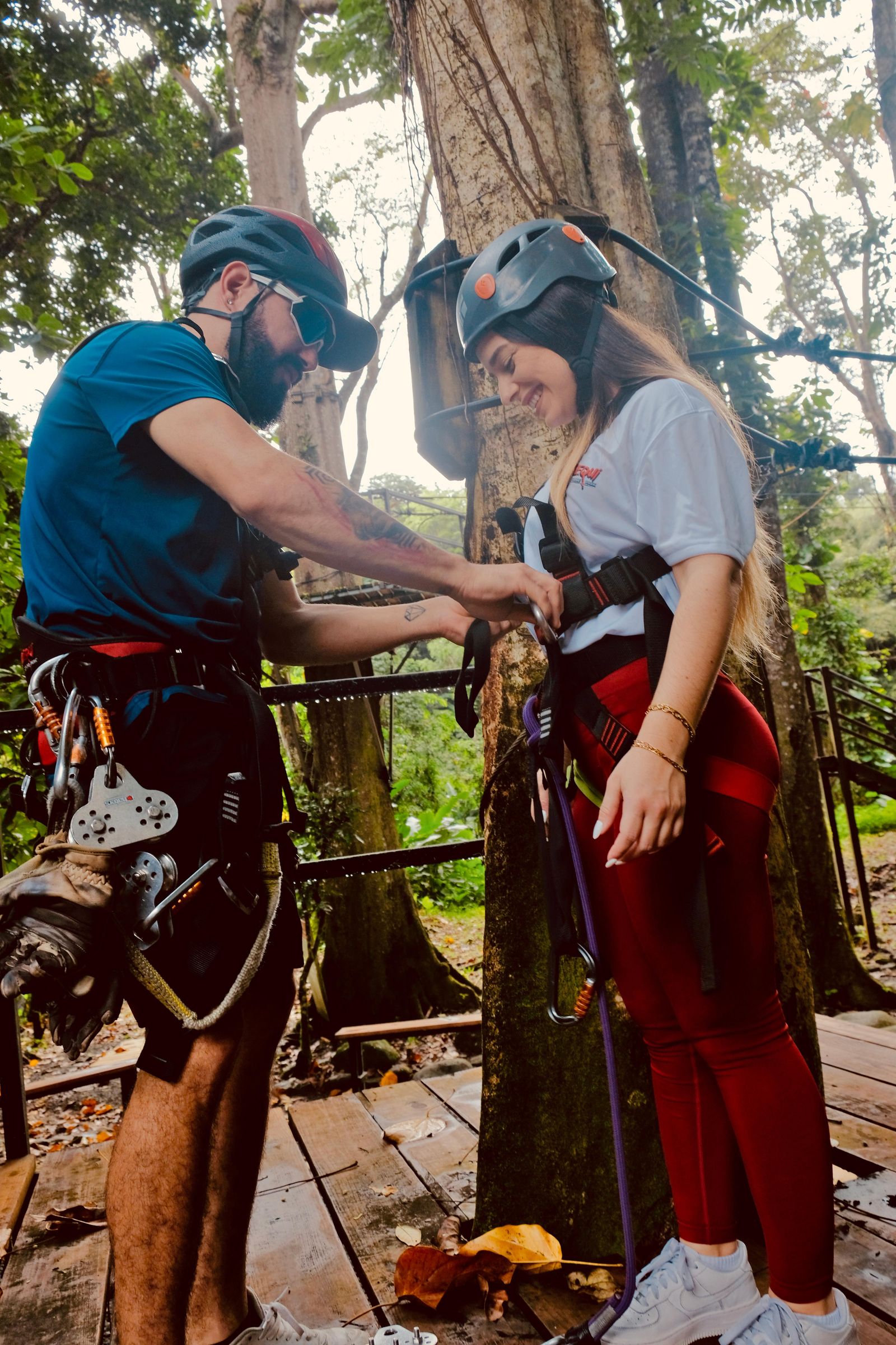
Check whether an operator is authorised when the activity uses national-forest land. The Forest Service maintains information about permitted providers. For ziplining, also verify whether the platform course is inside El Yunque National Forest, nearby in Río Grande, or in the foothills.
Prepare for the forest you actually booked
A national-forest hike, a private canopy course, and a foothills river combination demand different footwear, physical effort, transport, and timing. Read the exact option rather than assuming the destination name answers every practical question.
Bring water, sun protection, rain protection, and secure footwear appropriate to the activity. For a zipline, check age, height, weight, medical, clothing, camera, and loose-item rules before leaving San Juan.
Official planning sources
Check current conditions, El Portal information, hours, fees, and alerts on the official El Yunque National Forest page. Use its current recreation and access guide when planning forest corridors and facilities.
Turn the guide into a well-matched El Yunque day
Use the commercial comparison to choose JungleQui for its mapped meeting point within the national-forest boundary, the hike-and-zipline combination for a day that includes a forest visit, or a nearby Río Grande or foothills course.
Compare El Yunque tours